Benny Istanto Logo Benny Istanto Logo
  • Home
  • About
  • CSR
  • Blog
    • All Posts
    • Archive by Year
  • Works
    • Overview
    • Experiences
    • Projects
    • Consulting
    • Maps & Infographics
  • CV

Projects

Innovative solutions in climate and geospatial data science

It all begins with an idea, then it becomes something else.

Featured projects demonstrating expertise in earth observation, climate analysis, and data science.

Selected Projects

FFII
2003

Festival Film Independen Indonesia

Logo Design
2004 - now

Logo

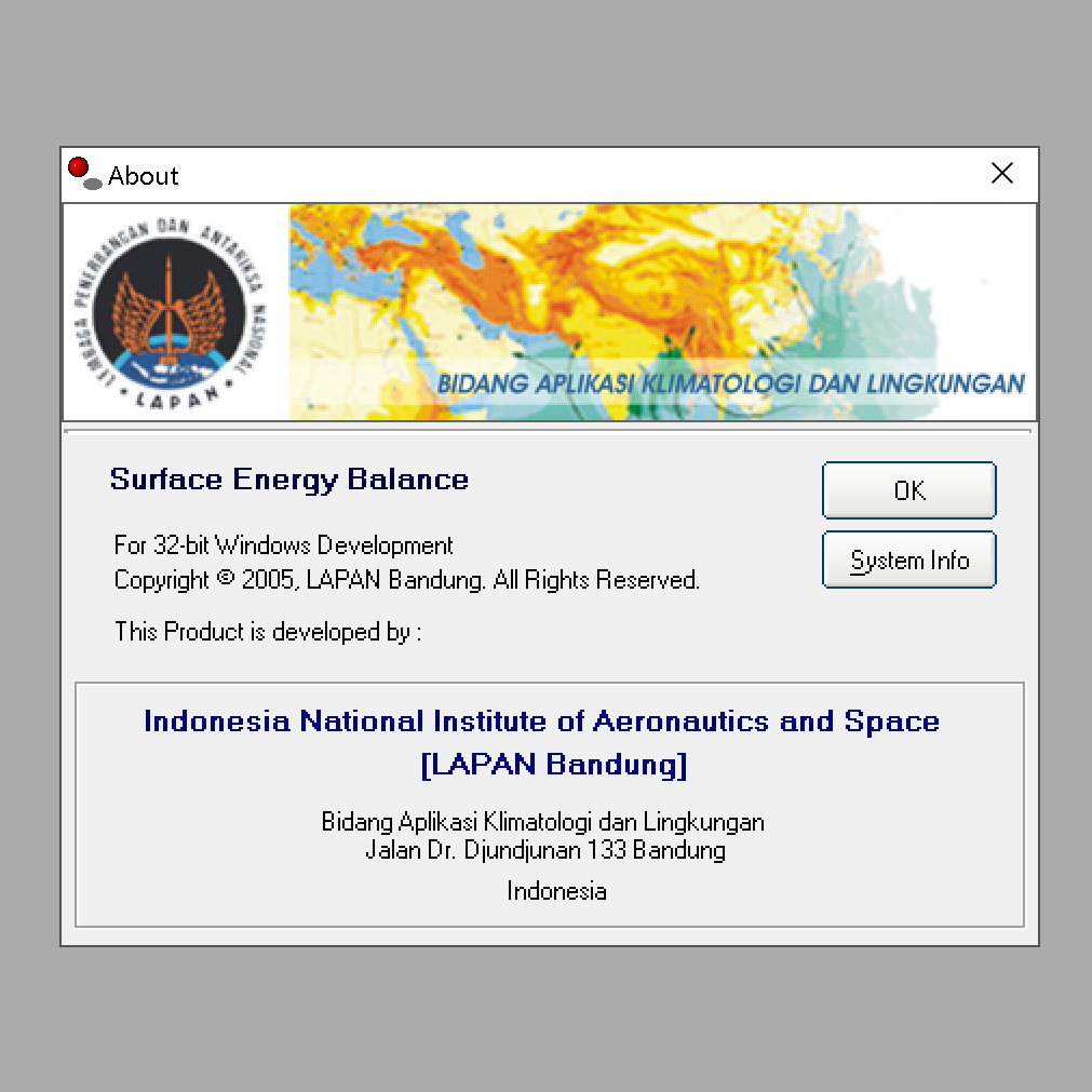
Surface Energy Balance
2005

Surface Energy Balance

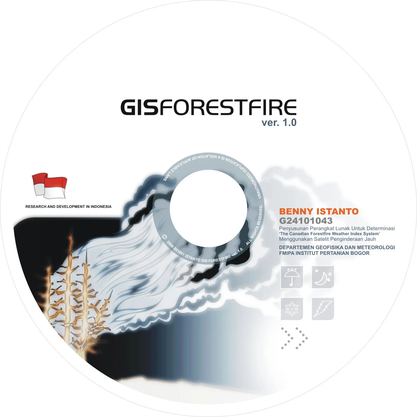
GISForestFire
2006

GIS for Forest Fire

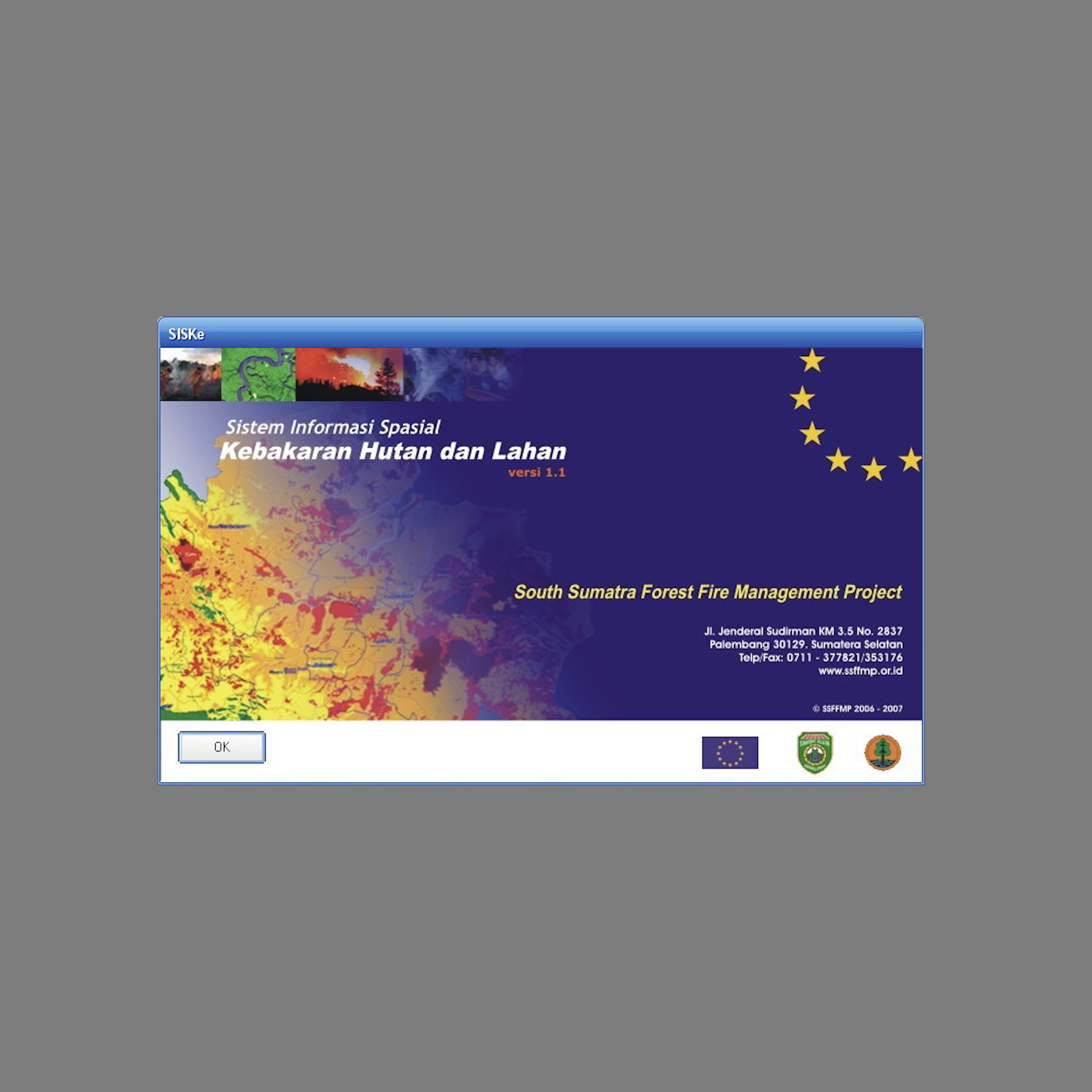
SISKe
2007

Sistem Informasi Spasial Kebakaran Hutan dan Lahan
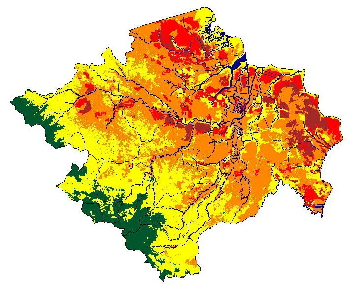
F/OSS for Forest Fire Monitoring
2008

F/OSS for Forest Fire Monitoring
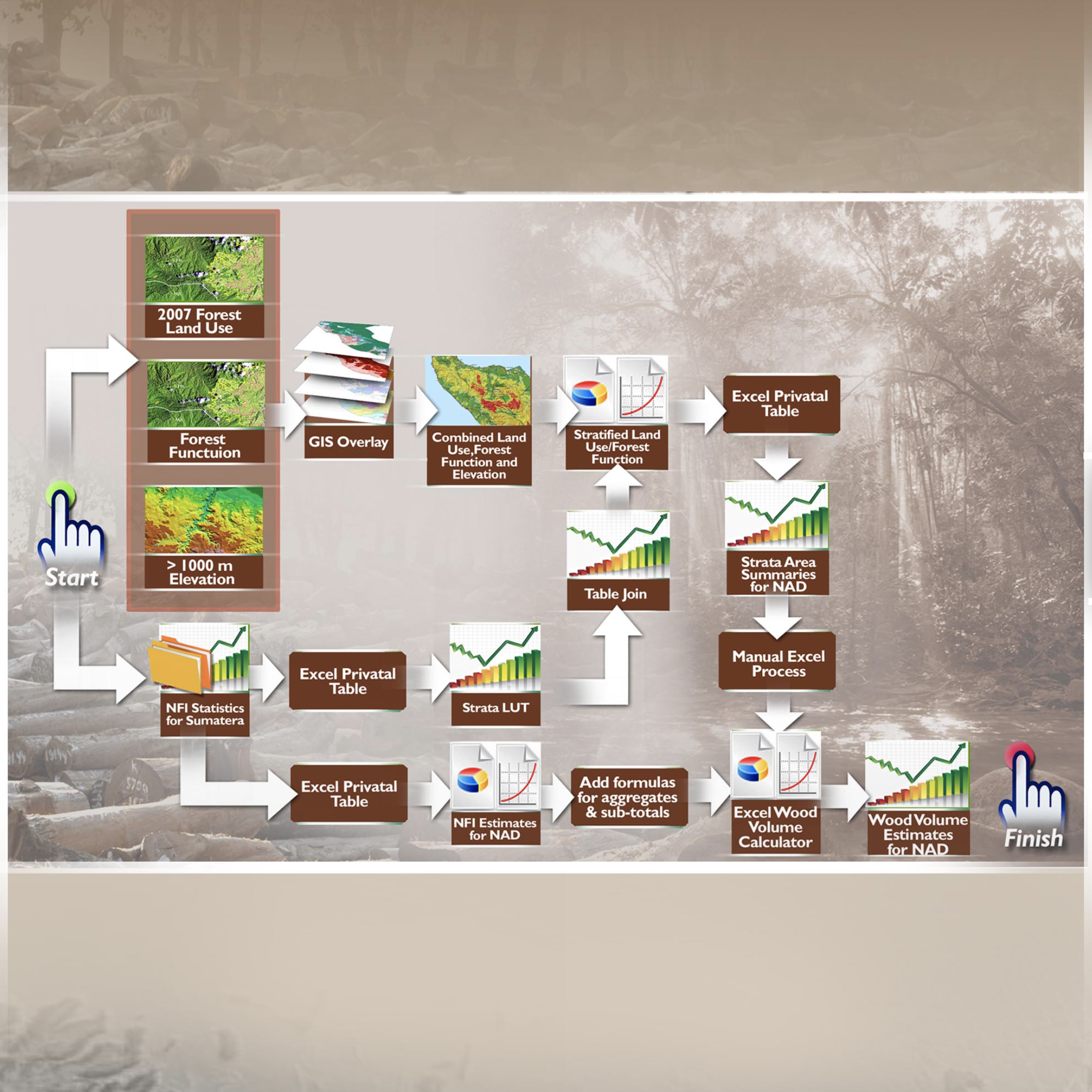
Aceh FIS
2008

Aceh Forest Information System

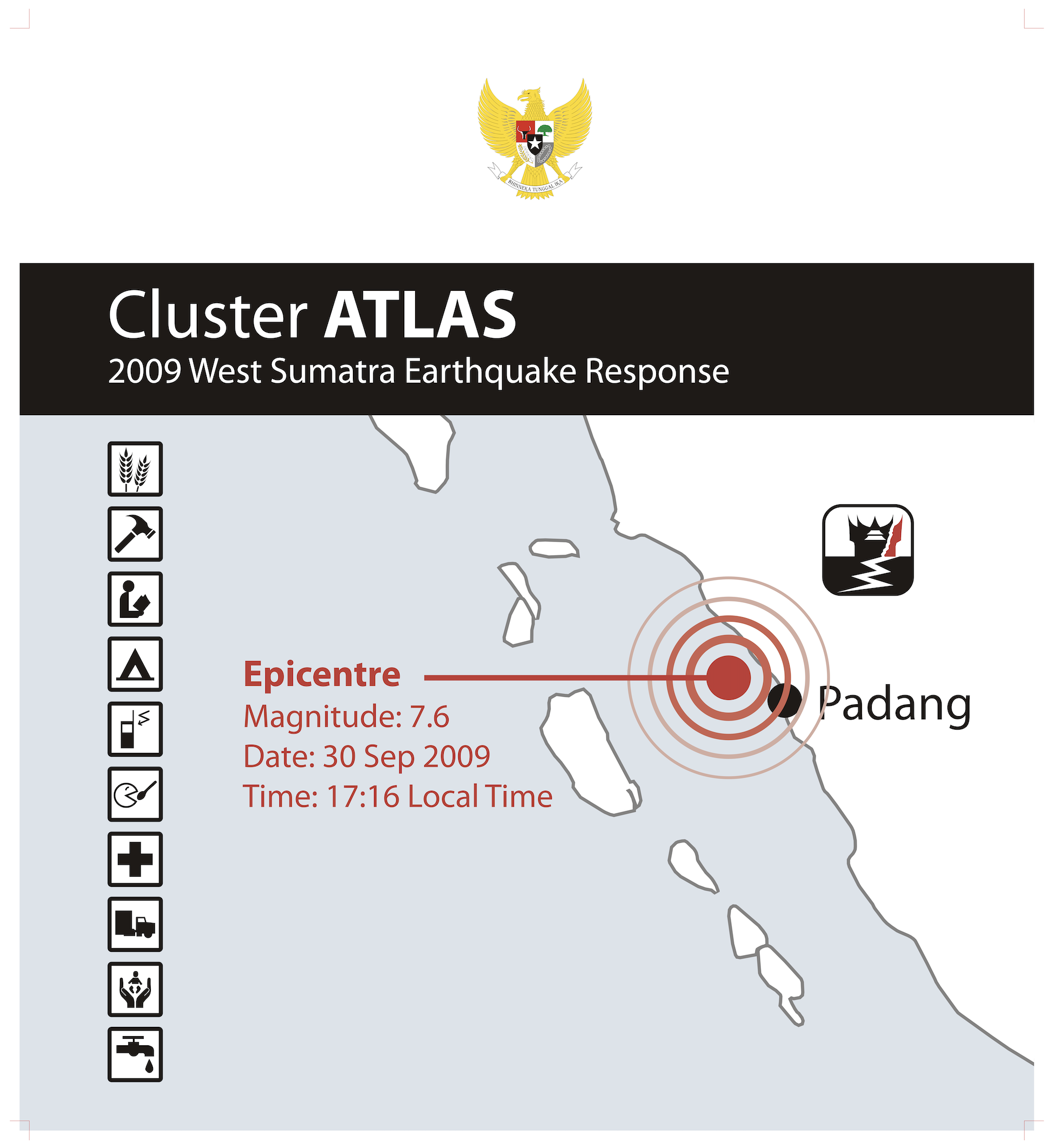
Cluster Atlas
2009

Cluster Atlas: West Sumatra Earthquake Response
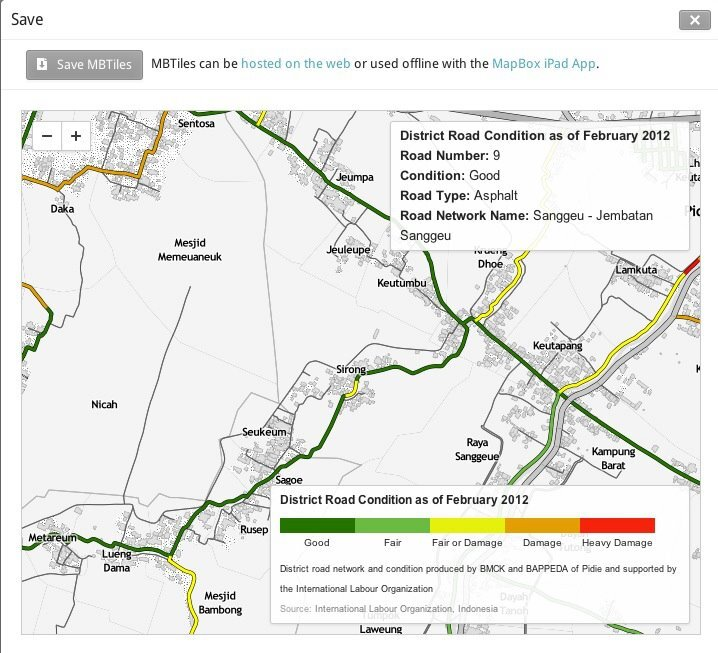
Aceh Road Network
2011

Aceh Road Network

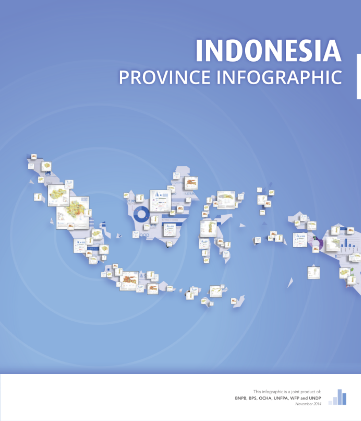
Province Infographic
2014

Province Infographic

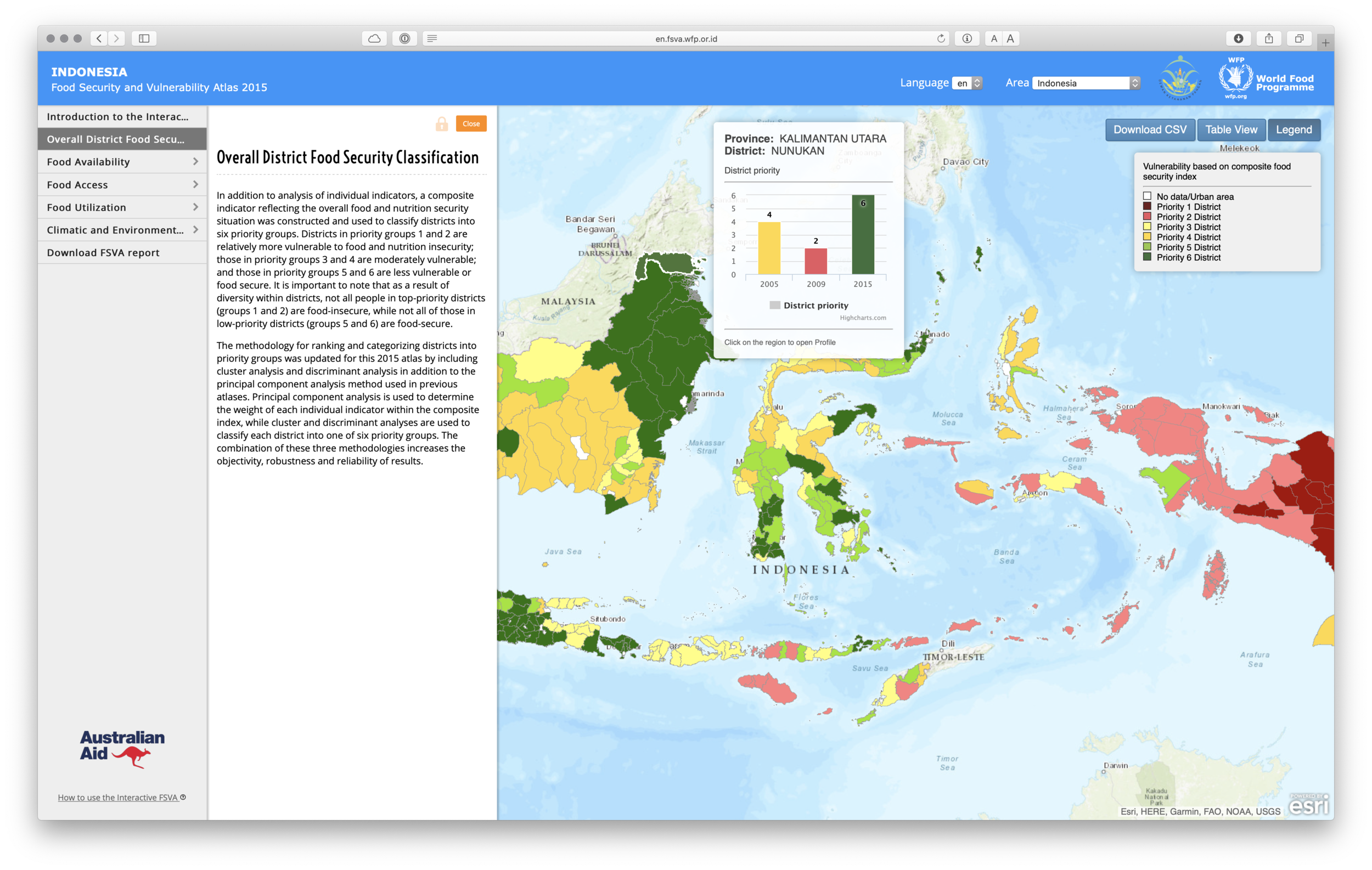
FSVA
2015

Food Security and Vulnerability Atlas
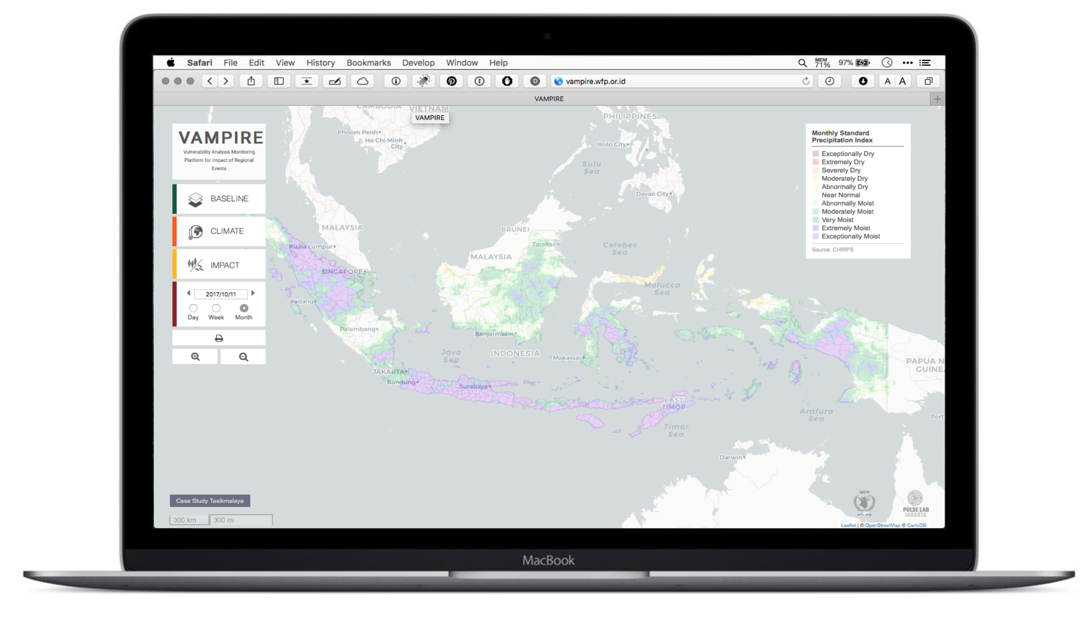
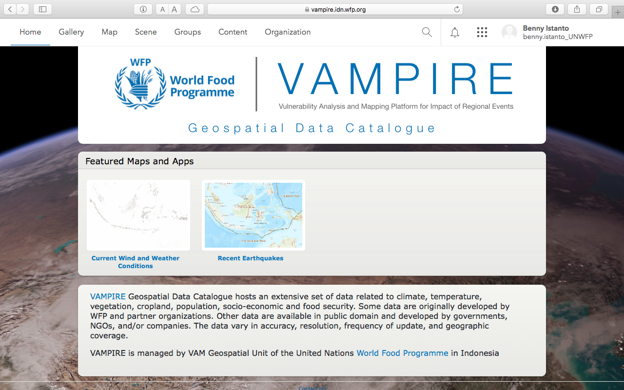
VAMPIRE
2016

VAMPIRE

VAMPIRE Geospatial Data Catalog
2017

VAMPIRE Geospatial Data Catalog

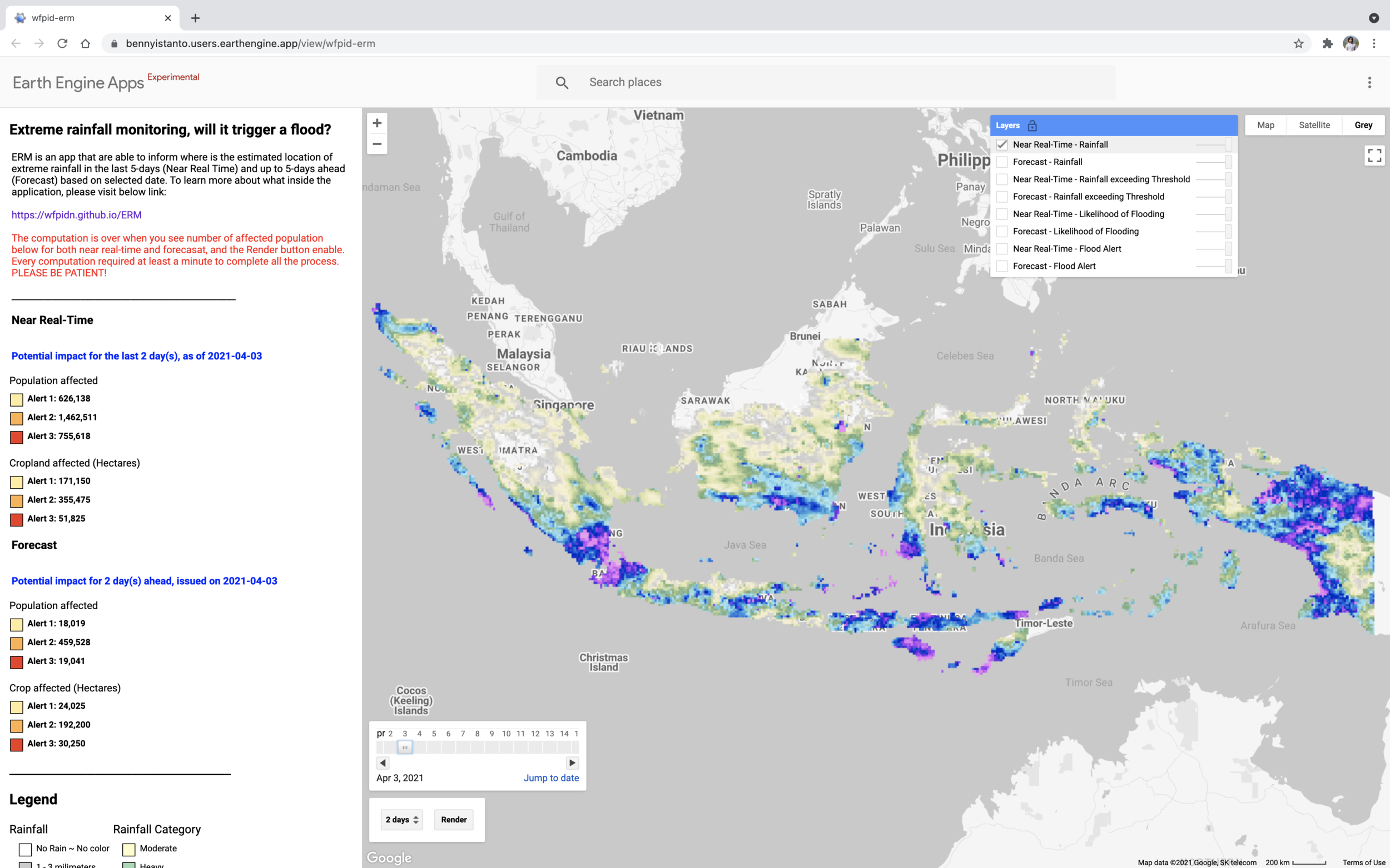
Extreme Rainfall Monitoring
2021

Extreme Rainfall Monitoring

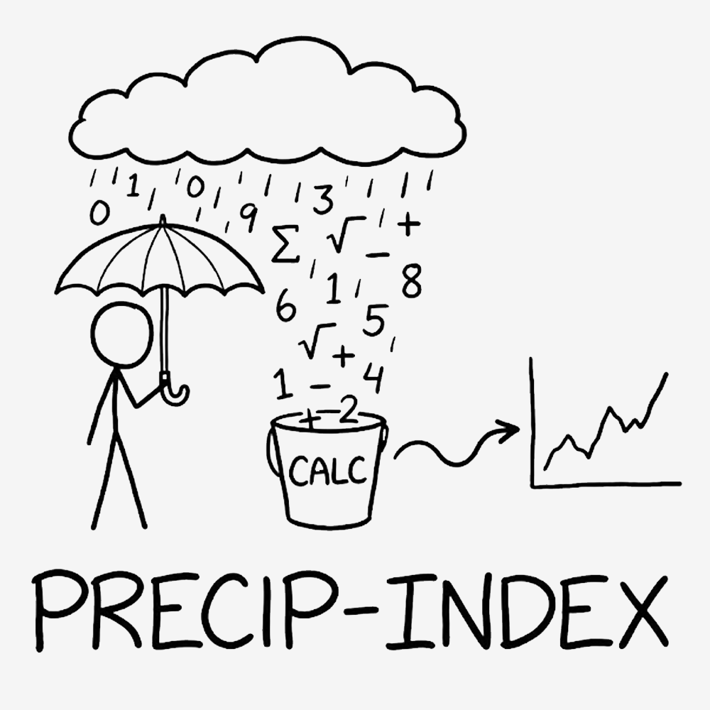
precip-index
2025

precip-index: SPI and SPEI for climate extremes
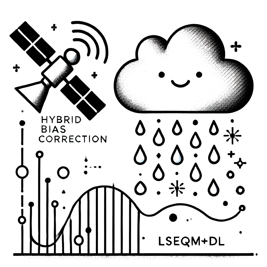
Hybrid Bias Correction
2026

Hybrid Bias Correction for daily satellite precipitation

← Back to Works

Back to top

© 2026, Benny Istanto.

Exploring Climate with GIS and Data Science, solving old problems in new ways. Turning earth observation data into actionable, life-saving insights.

Built with Quarto

  • View source
  • Report an issue

Buy Me a Coffee